 Ozikoro
Archive · Photograph
Precolonial trade routes that shaped Igbo history. Source: Unsplash – African Maps Collection
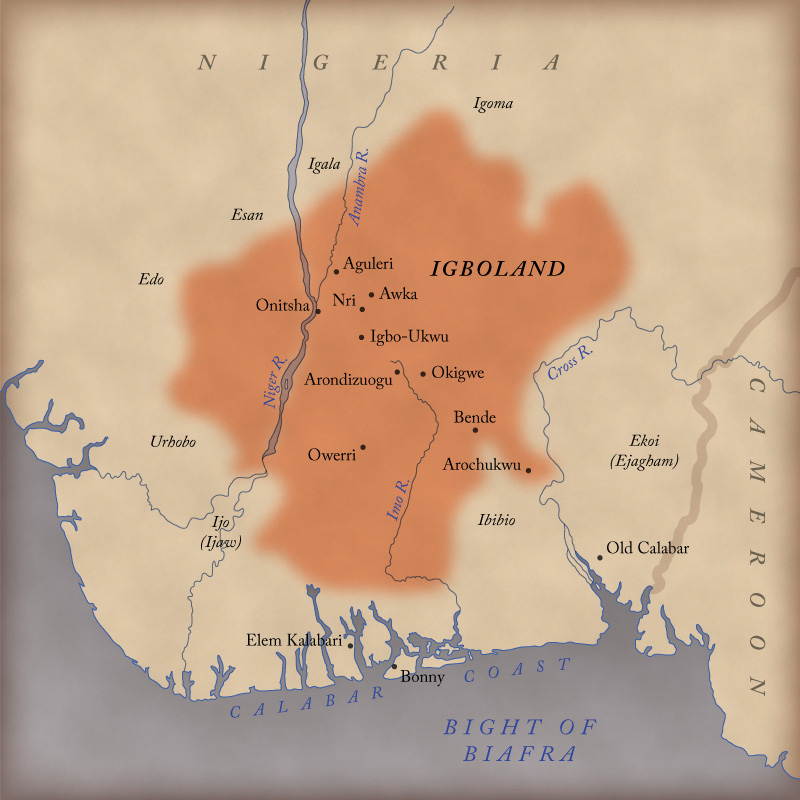
This map documents the complex network of trade routes that existed in Igboland before full colonial domination.
| Ref. | OZ-P-1173 |
|---|---|
| Type | Photograph · image/jpeg |
| Credit | Unsplash – African Maps Collection |
| Added | 23 October 2025 |
| Dimensions | 800 × 800 |
| Size | 166 KB |
| Rights | credit “Unsplash – African Maps Collection” read from the item's own caption text, which says "Source: Unsplash – African Maps Collection". Derived from the WordPress record, not established by a person: nobody has confirmed this. |
Used in
- Adiele Eberechukwu Afigbo: The Historian Who Gave Igbo History Its Memory — shown in its text
Reusing this
The rights recorded above are what the archive holds. Check them before reuse.