 Ozikoro
Archive · Photograph
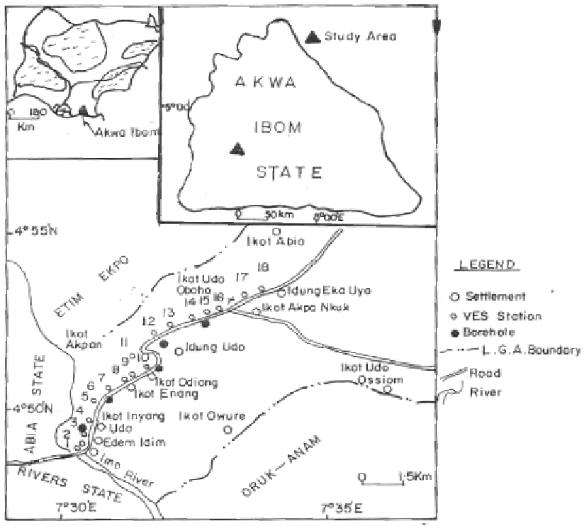
Location map of southern Ukanafun local Government Area of Akwa Ibom State VES and Boreholes
| Ref. | OZ-P-2993 |
|---|---|
| Type | Photograph · image/png |
| Added | 4 December 2024 |
| Dimensions | 824 × 742 |
| Size | 131 KB |
| Rights | not recorded |
Used in
- Ohaobu: Akwa Ibom’s Indigenous Igbo Community — shown in its text
Reusing this
No rights statement is recorded against this item, so permission has not been established either way. Write to the archive before republishing it.