 Ozikoro
Archive · Photograph
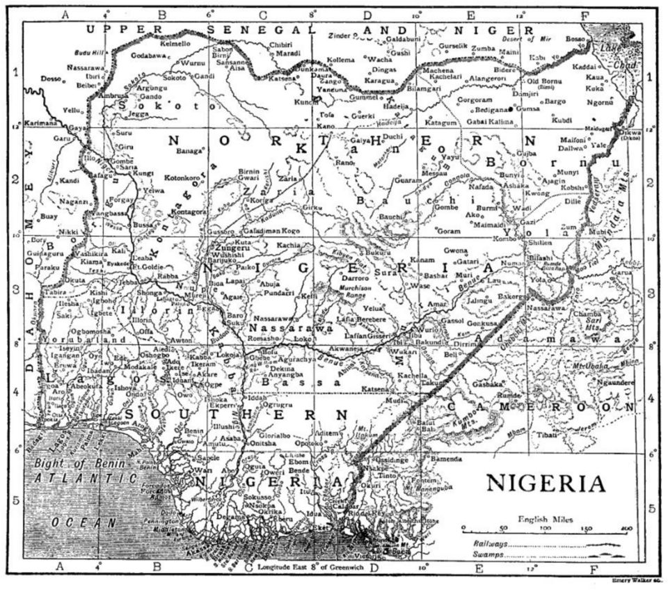
Map of the Kanem-Bornu Empire, useful geographic context for military and trade networks like the Trans-Saharan routes. Photo credit: public domain / historical map via Wikimedia commons
| Ref. | OZ-P-0681 |
|---|---|
| Type | Photograph · image/png |
| Added | 5 January 2026 |
| Dimensions | 960 × 851 |
| Size | 485 KB |
| Rights | Public domain (as stated by the record) |
Used in
Reusing this
The rights recorded above are what the archive holds. Check them before reuse.