 Ozikoro
Archive · Photograph
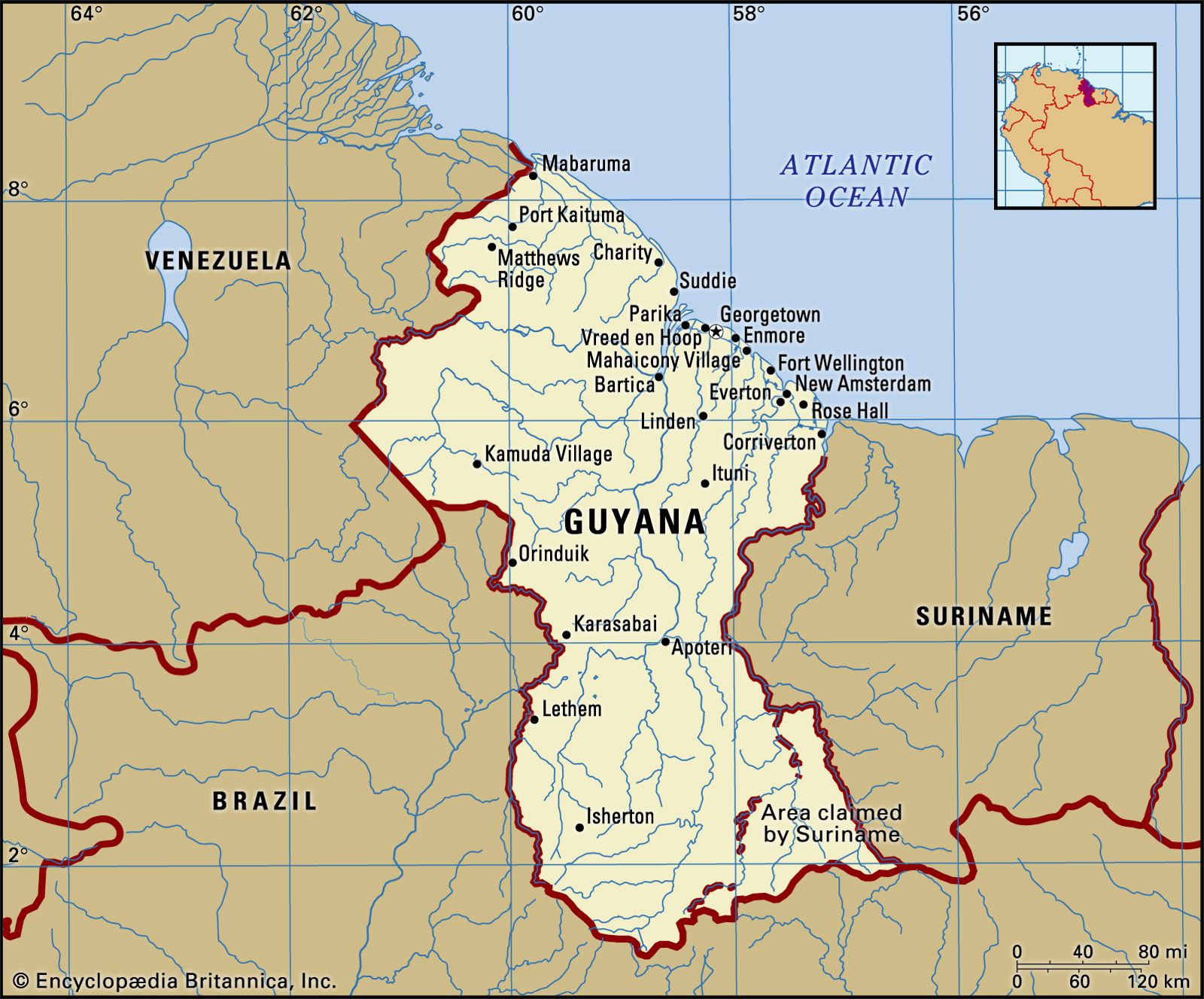
A map of Guyana showing its borders with Venezuela, Brazil, and Suriname, as well as its major cities, rivers, and the Atlantic Ocean. The map also indicates an area claimed by Suriname. Photo credit; Encyclopædia Britannica, Inc.
| Ref. | OZ-P-1028 |
|---|---|
| Type | Photograph · image/jpeg |
| Credit | Encyclopædia Britannica, Inc |
| Added | 10 November 2025 |
| Dimensions | 1600 × 1327 |
| Size | 298 KB |
| Rights | credit “Encyclopædia Britannica, Inc” read from the item's own caption text, which says "Photo credit; Encyclopædia Britannica, Inc.". Derived from the WordPress record, not established by a person: nobody has confirmed this. |
Used in
- Berbice Dutch Creole: A Lost Language of Guyana — shown in its text
Reusing this
The rights recorded above are what the archive holds. Check them before reuse.