 Ozikoro
Archive · Photograph
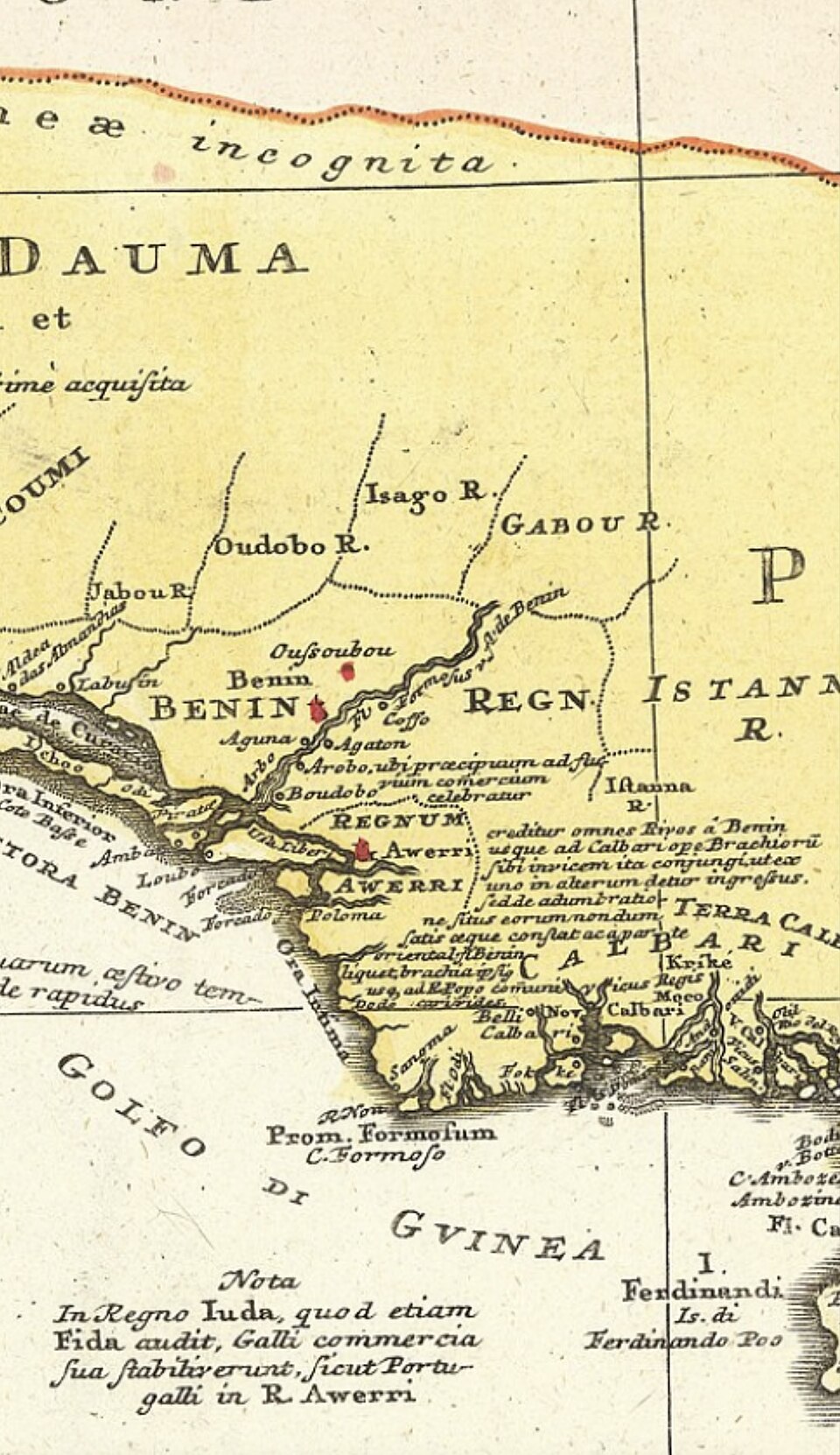
A historic map showing Aweri (Warri) when Olu Atorongboye’s dynasty bolstered external ties with Iberian powers during the late 16th and early 17th centuries. Photo credit; LordSnow242 via Wikimedia Commons
| Ref. | OZ-P-0591 |
|---|---|
| Type | Photograph · image/jpeg |
| Credit | LordSnow242 via Wikimedia Commons |
| Added | 15 January 2026 |
| Dimensions | 960 × 1662 |
| Size | 336 KB |
| Rights | credit “LordSnow242 via Wikimedia Commons” read from the item's own caption text, which says "Photo credit; LordSnow242 via Wikimedia Commons". Derived from the WordPress record, not established by a person: nobody has confirmed this. |
Used in
Reusing this
The rights recorded above are what the archive holds. Check them before reuse.