 Ozikoro
Archive · Photograph
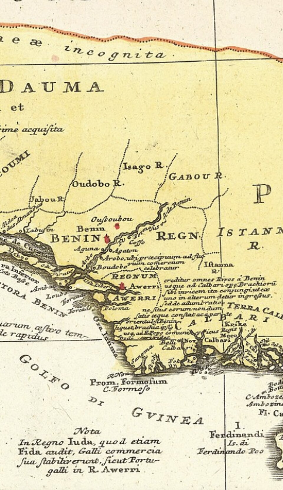
A historic map illustrating the location and territorial extent of the Warri (Iwere) Kingdom not long after its founding is useful for contextualizing the migration and settlement patterns following Ginuwa’s arrival around c.1480 AD. Photo credit: LordSnow242, via Wikimedia Commons.
| Ref. | OZ-P-0638 |
|---|---|
| Type | Photograph · image/jpeg |
| Credit | LordSnow242, via Wikimedia Commons |
| Added | 8 January 2026 |
| Dimensions | 960 × 1662 |
| Size | 336 KB |
| Rights | credit “LordSnow242, via Wikimedia Commons” read from the item's own caption text, which says "Photo credit: LordSnow242, via Wikimedia Commons.". Derived from the WordPress record, not established by a person: nobody has confirmed this. |
Used in
Reusing this
The rights recorded above are what the archive holds. Check them before reuse.