 Ozikoro
LordSnow242, via Wikimedia Commons
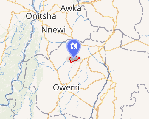
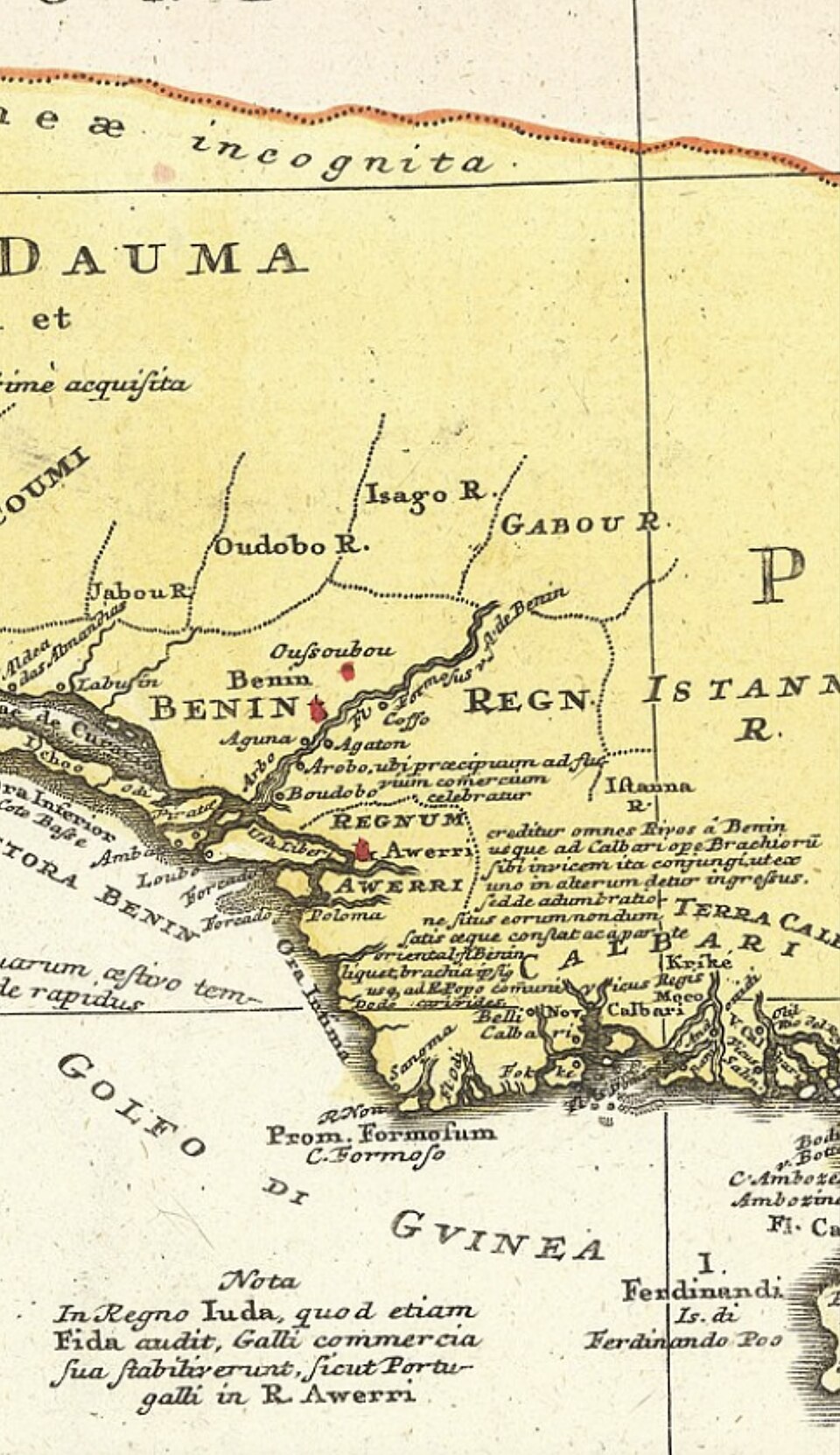
A historic map illustrating the location and territorial extent of the Warri (Iwere) Kingdom not long after its founding is useful for contextualizing the migration and settlement patterns following Ginuwa’s arrival around c.1480 AD. Photo credit: LordSnow242, via Wikimedia Commons.
Reference OZ-M-638 · No licence recorded · reuse not granted